DRAG
DRAG


Quick access to essential system features, including the dashboard for an overview of operations, network settings for managing connectivity, system logs for tracking activities.

789 Inner Lane, Holy park, California, USA

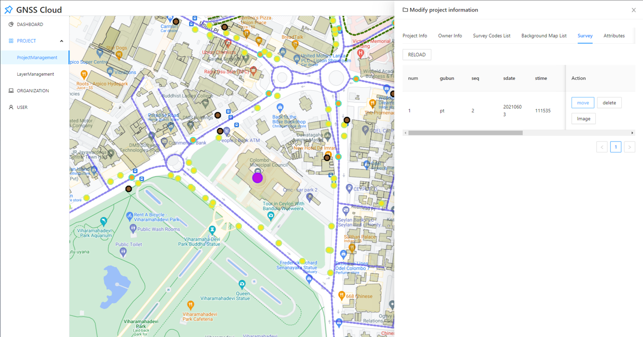
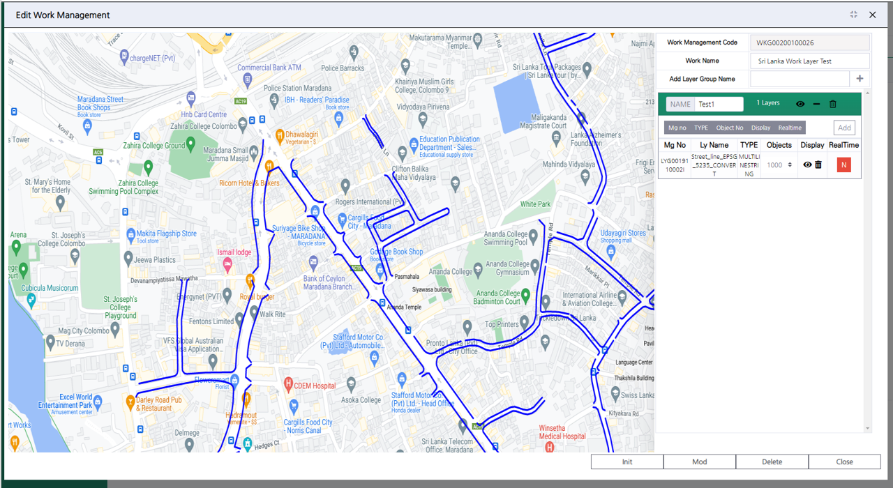
We build systems that integrate and visualize field data through GIS-based integrated monitoring and control,
and tailored digital twin technology.
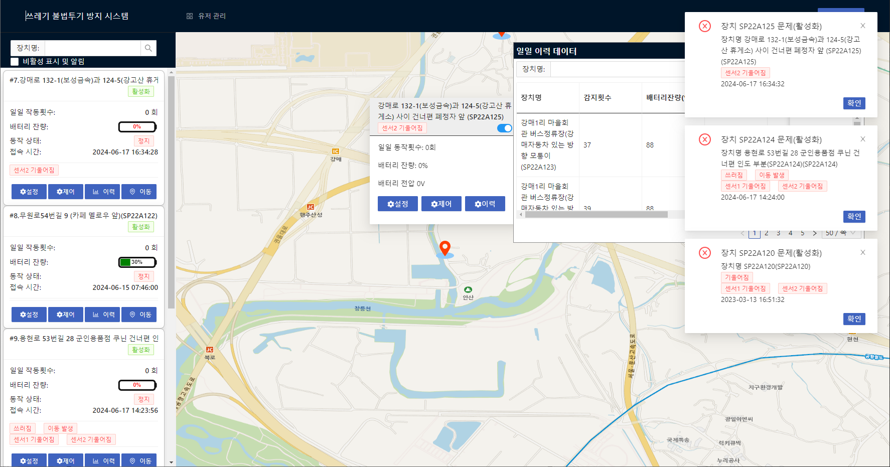
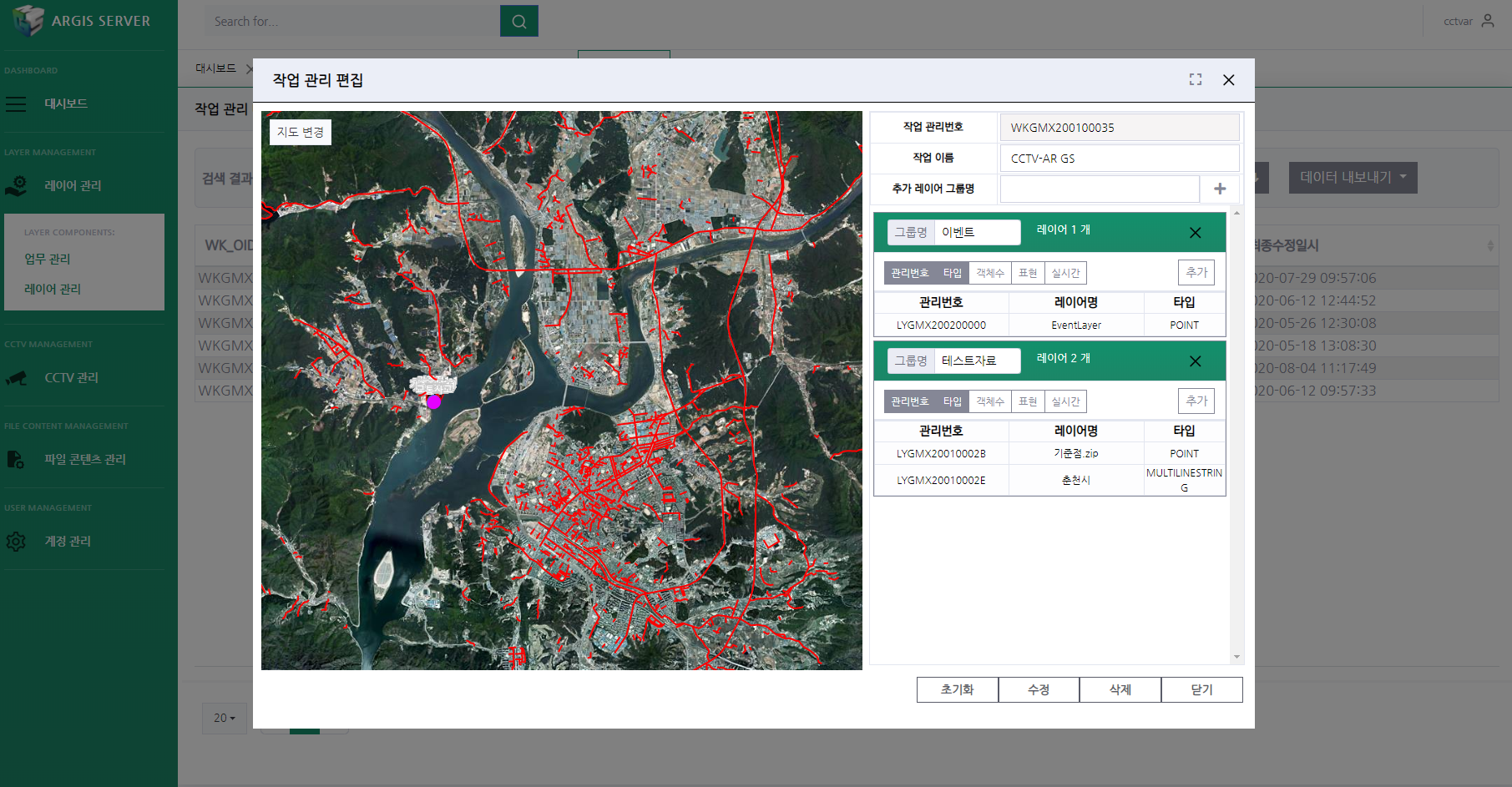
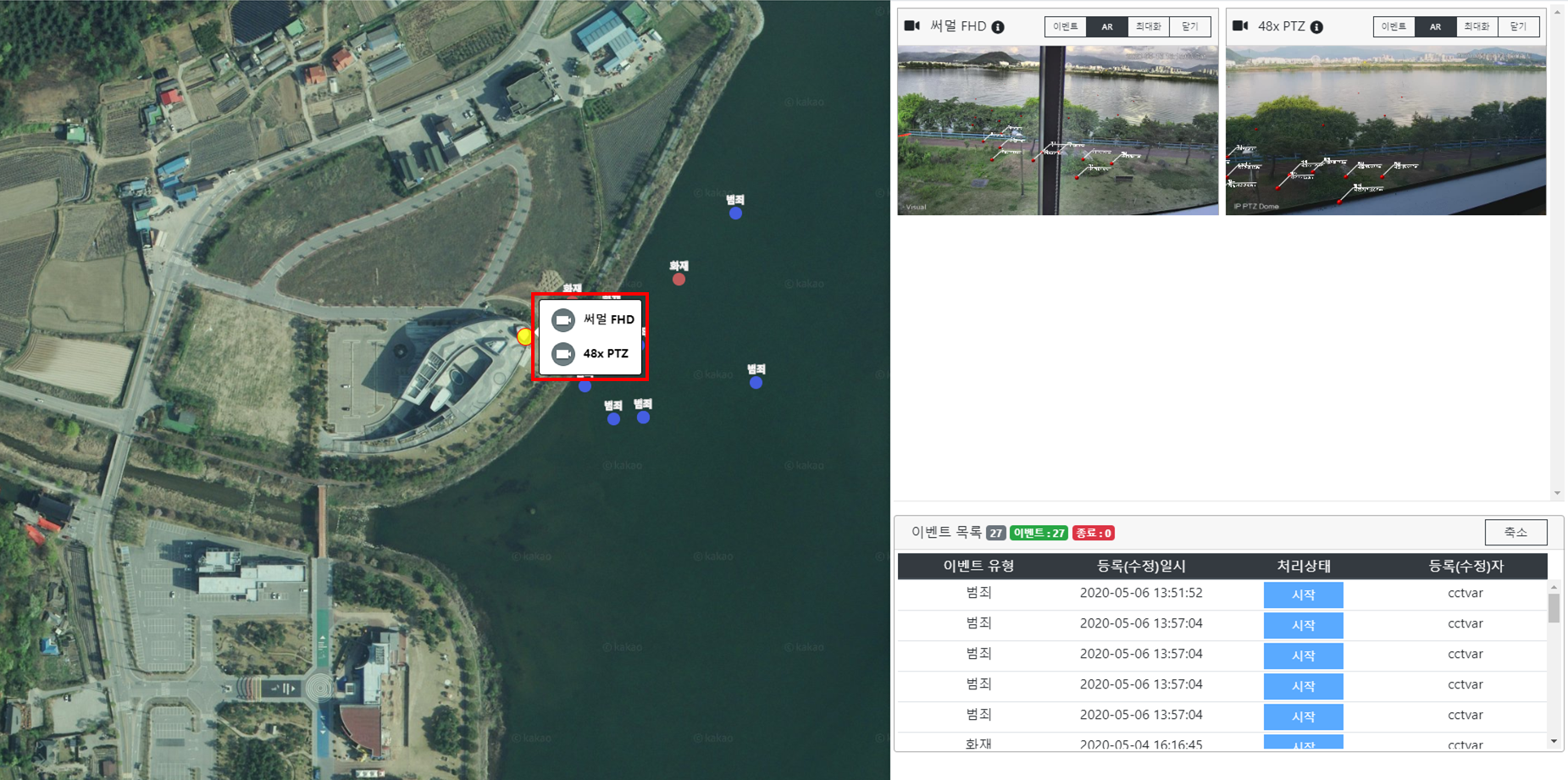
This is a decision-support solution built on GIS-based integrated monitoring and control. By integrating diverse communication protocols, it links instrumentation and control systems, real-time video (WebRTC), AI analysis results, system status, and other data into a single monitoring and control platform for decision-making.
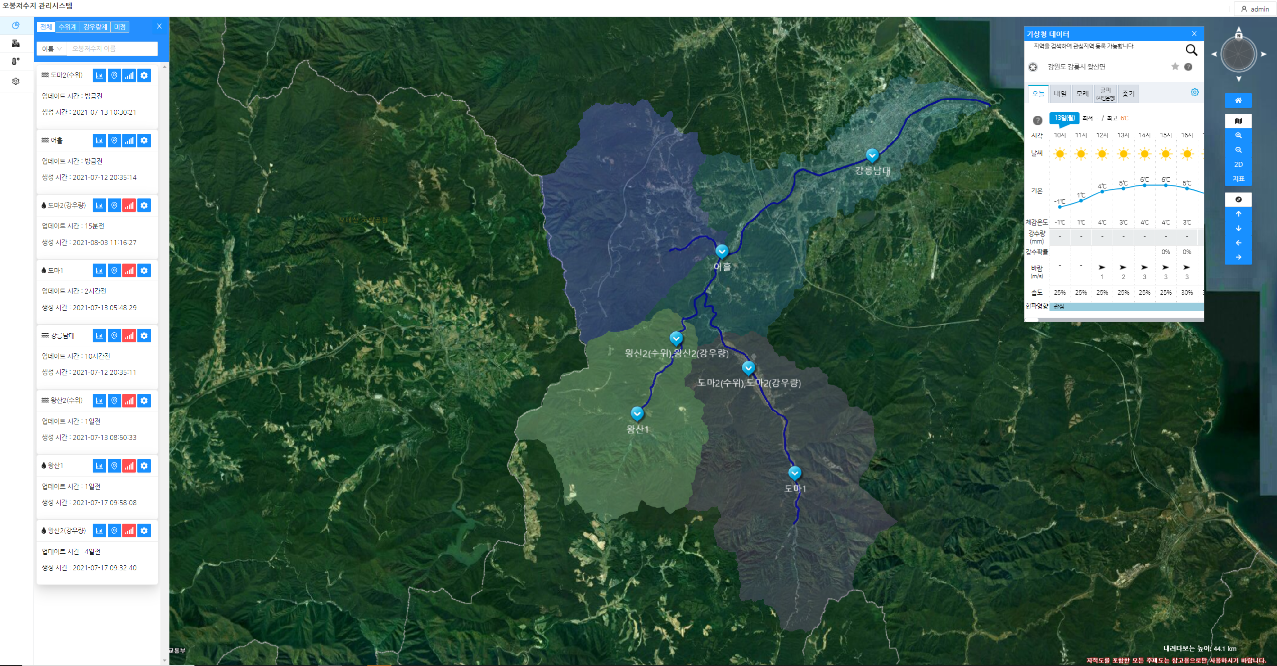
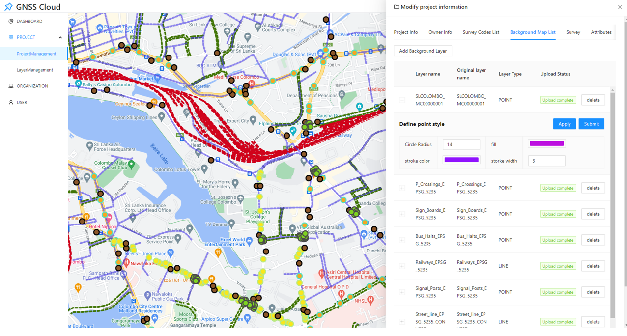
Real-time data visualization based on GIS and GNSS positioning
Real-time event reception, CCTV video monitoring and control, and sensor data interfacing and control
System management and monitoring, including equipment location registration and status inspections
Decision support through real-time data collection, analysis, and visualization linked with IoT, AI, and digital twin technologies
Web-based processing and real-time visualization of massive spatial and time-series datasets
Integration and fusion analysis of heterogeneous data through public- and private-sector Open APIs
Integrated middleware architecture supporting multiple protocols and platforms
This customized service creates virtual representations of real-world physical objects and systems through 3D modeling and provides optimized solutions through simulation, analysis, and prediction tailored to customer requirements and industry-specific objectives.
Real-time analysis of data collected through IoT sensors using cloud and AI technologies
Linkage with output data from various mathematical and AI models
Industry-specific simulation capabilities through linkage with real-time weather data and IoT devices, covering manufacturing, urban environments, industrial plants, agriculture, and other sectors
Enables the design of an optimal operating environment by simulating various scenarios within a digital twin environment
Enables optimized operation through real-time status monitoring of facilities, processes, and systems identical to those in the real world
Supports customized simulations across various fields, including smart factories, industrial complexes, plants, digital livestock farms, and smart farms
Delivering highly accurate positioning services through high-precision GNSS positioning
and location-based AR technologies.
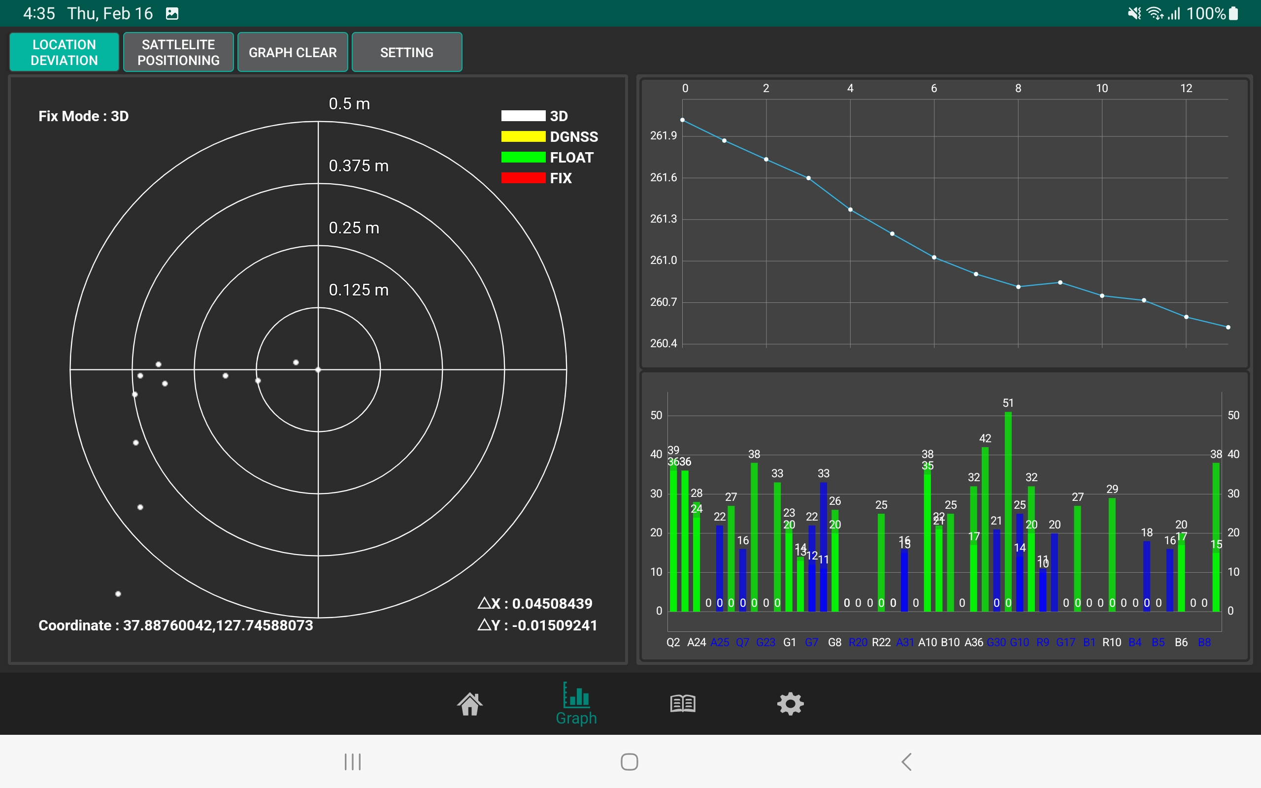
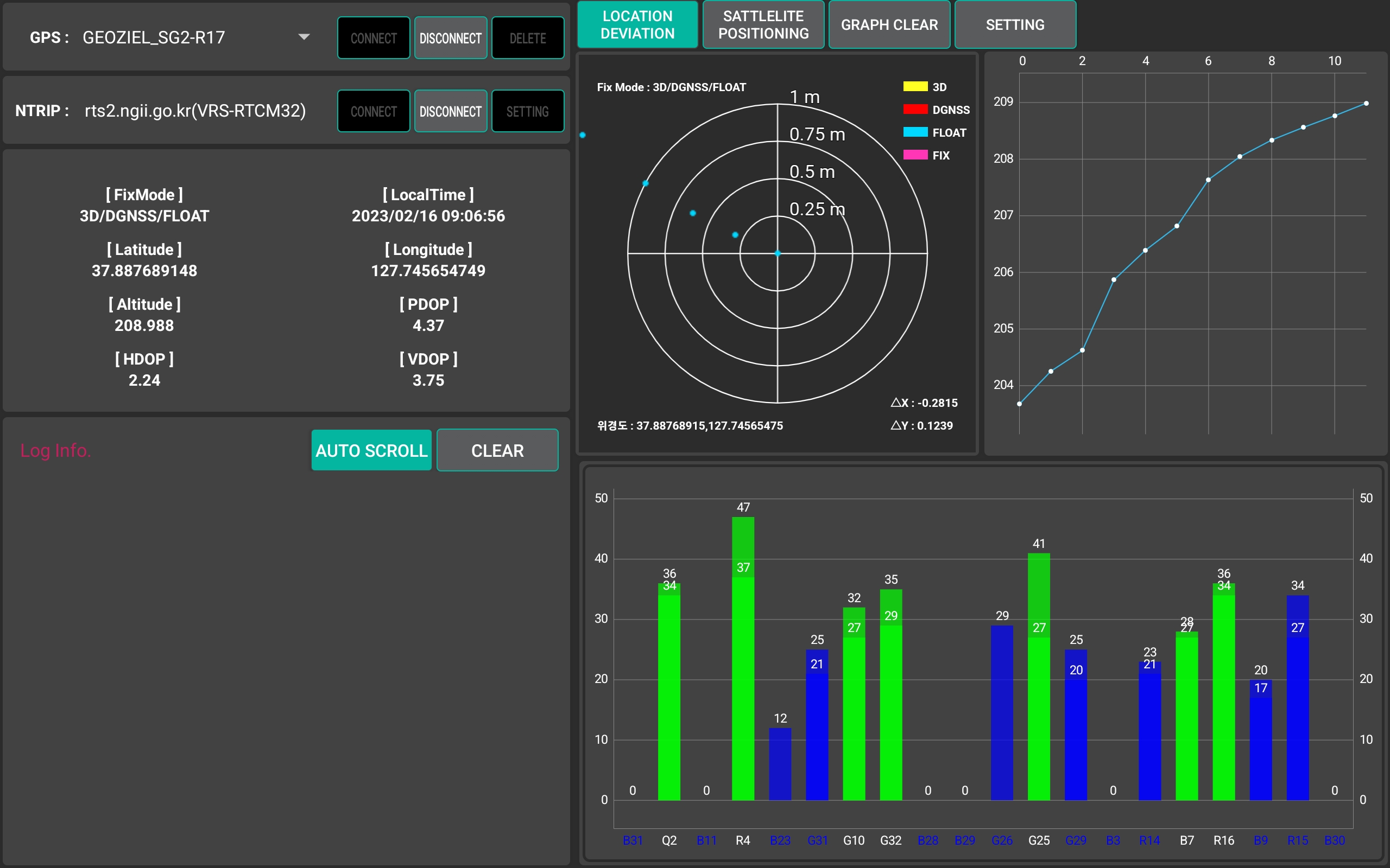
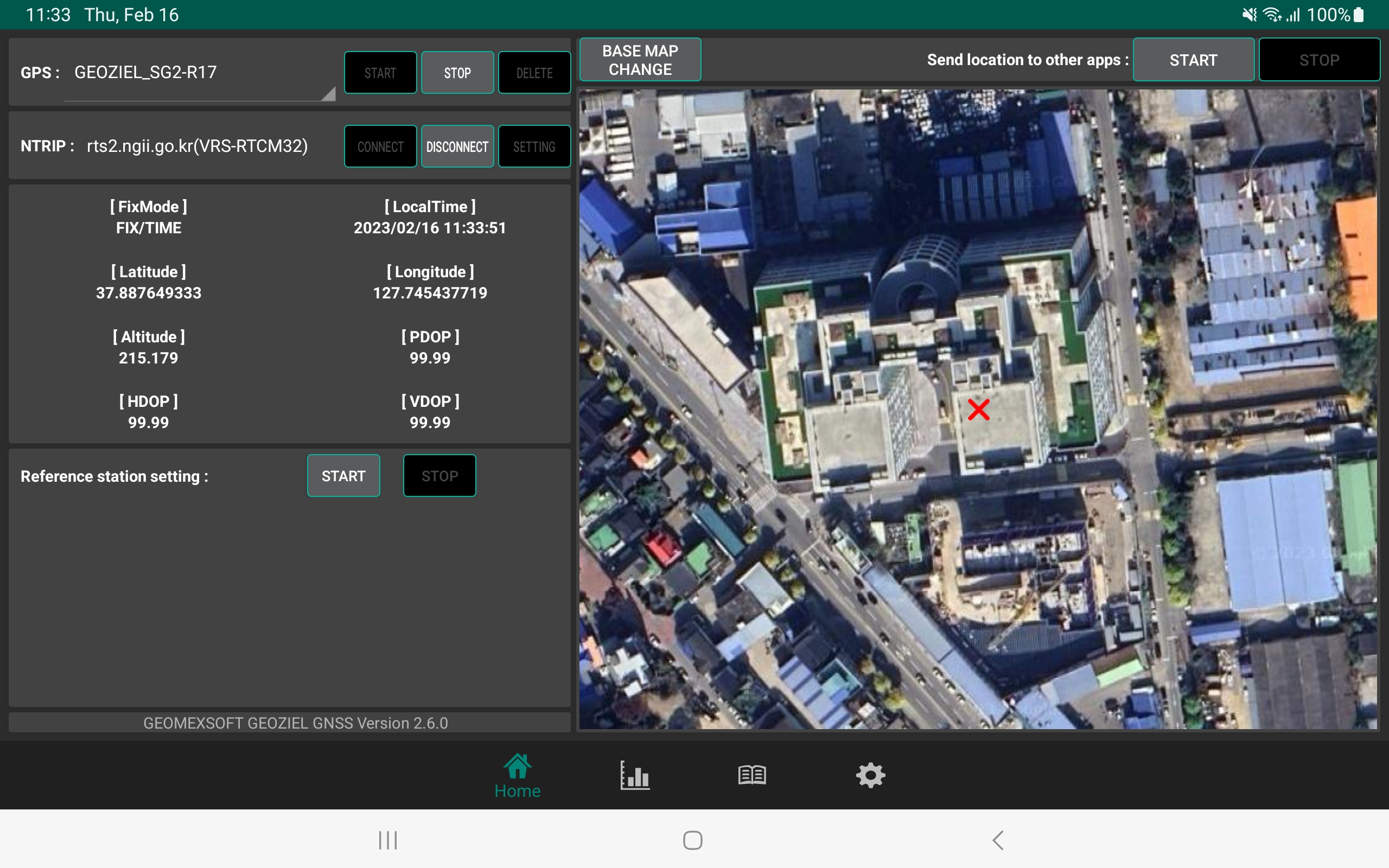
A solution that utilizes the VRS RTK service provided by the National Geographic Information Institute (NGII) to deliver centimeter-level positioning accuracy for applications requiring high-precision GNSS coordinates.
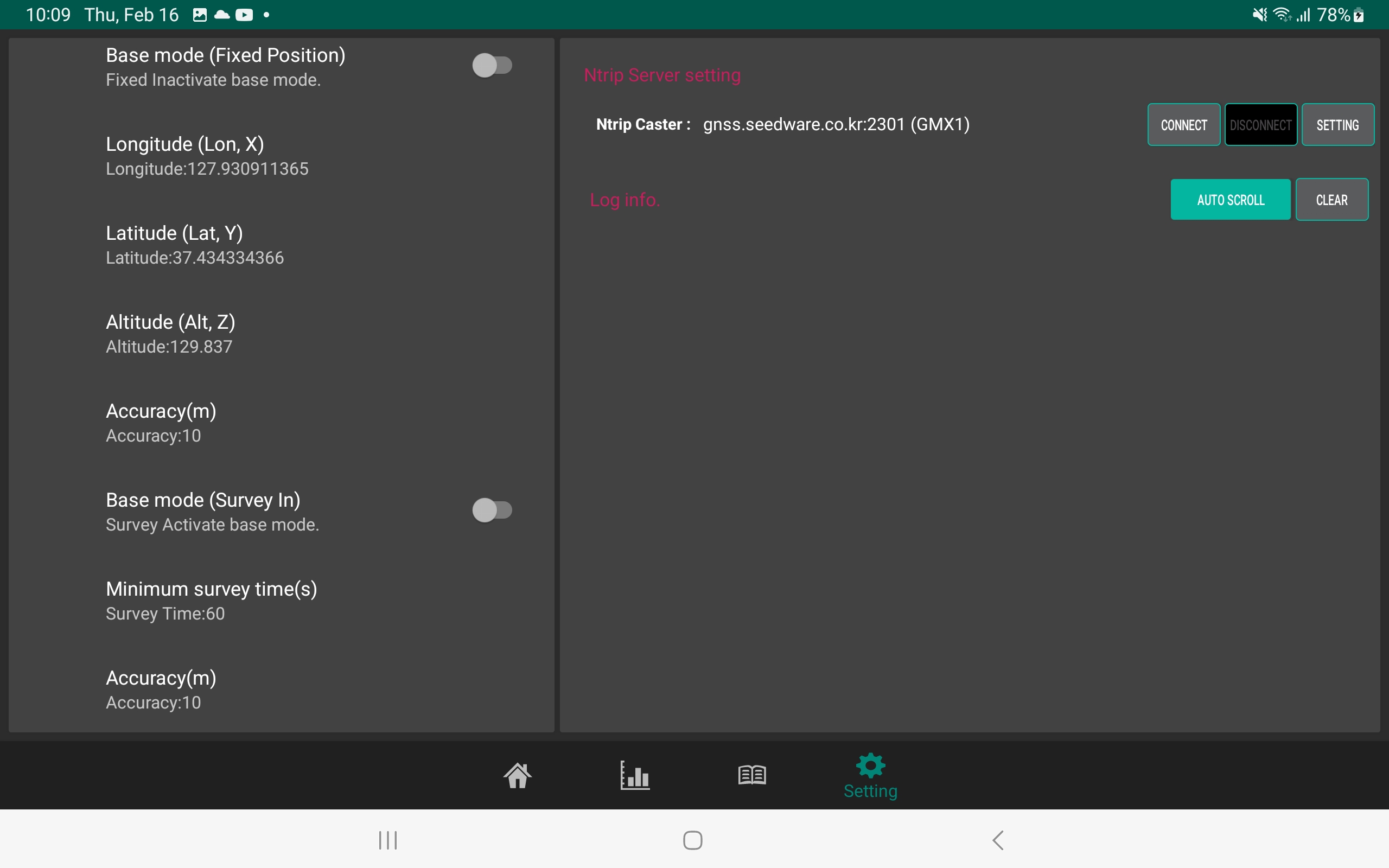
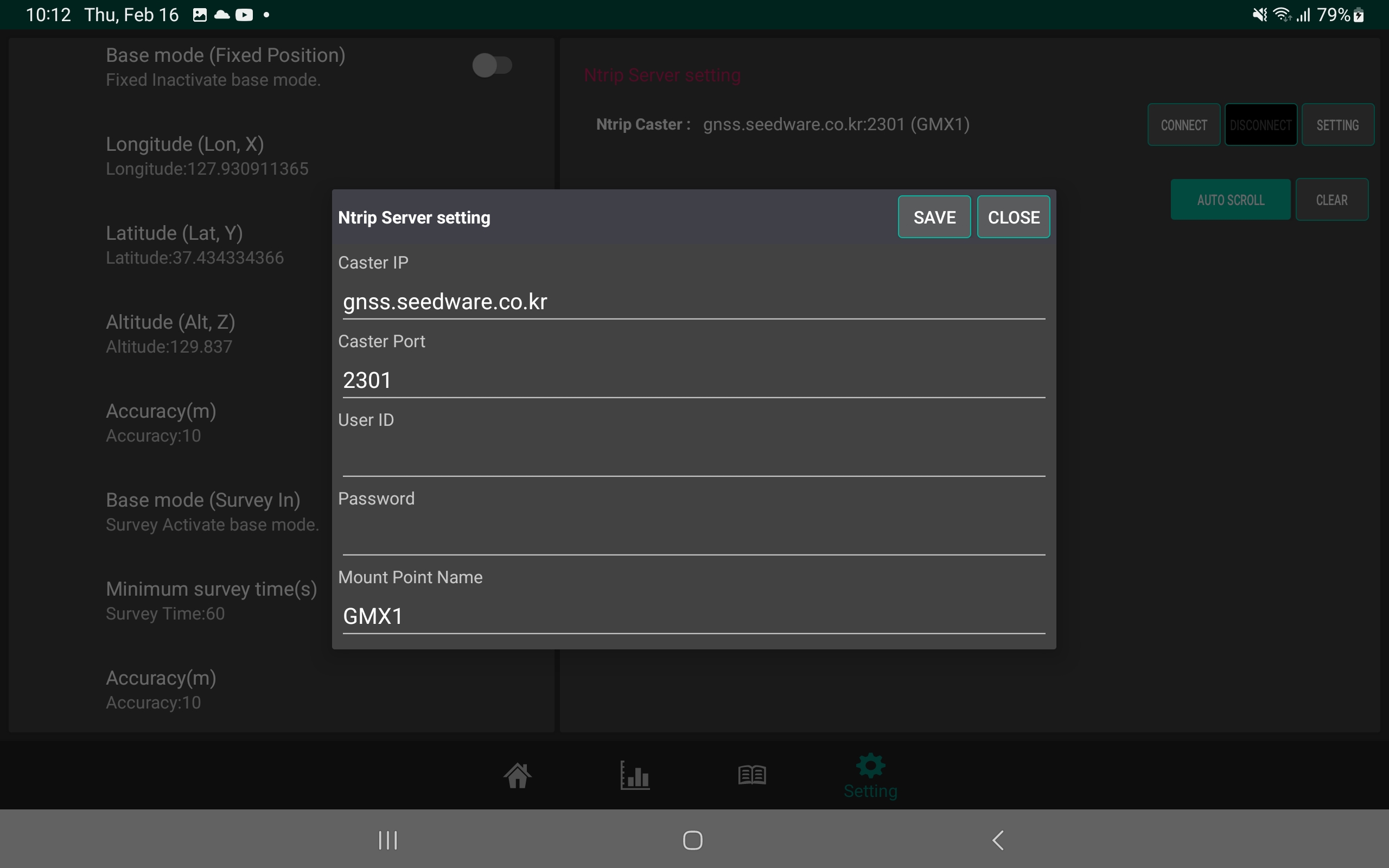
Reference station software and NTRIP Server for generating GNSS correction data
NTRIP Caster for broadcasting data received from reference stations
NTRIP Client for receiving GNSS correction data at rover stations
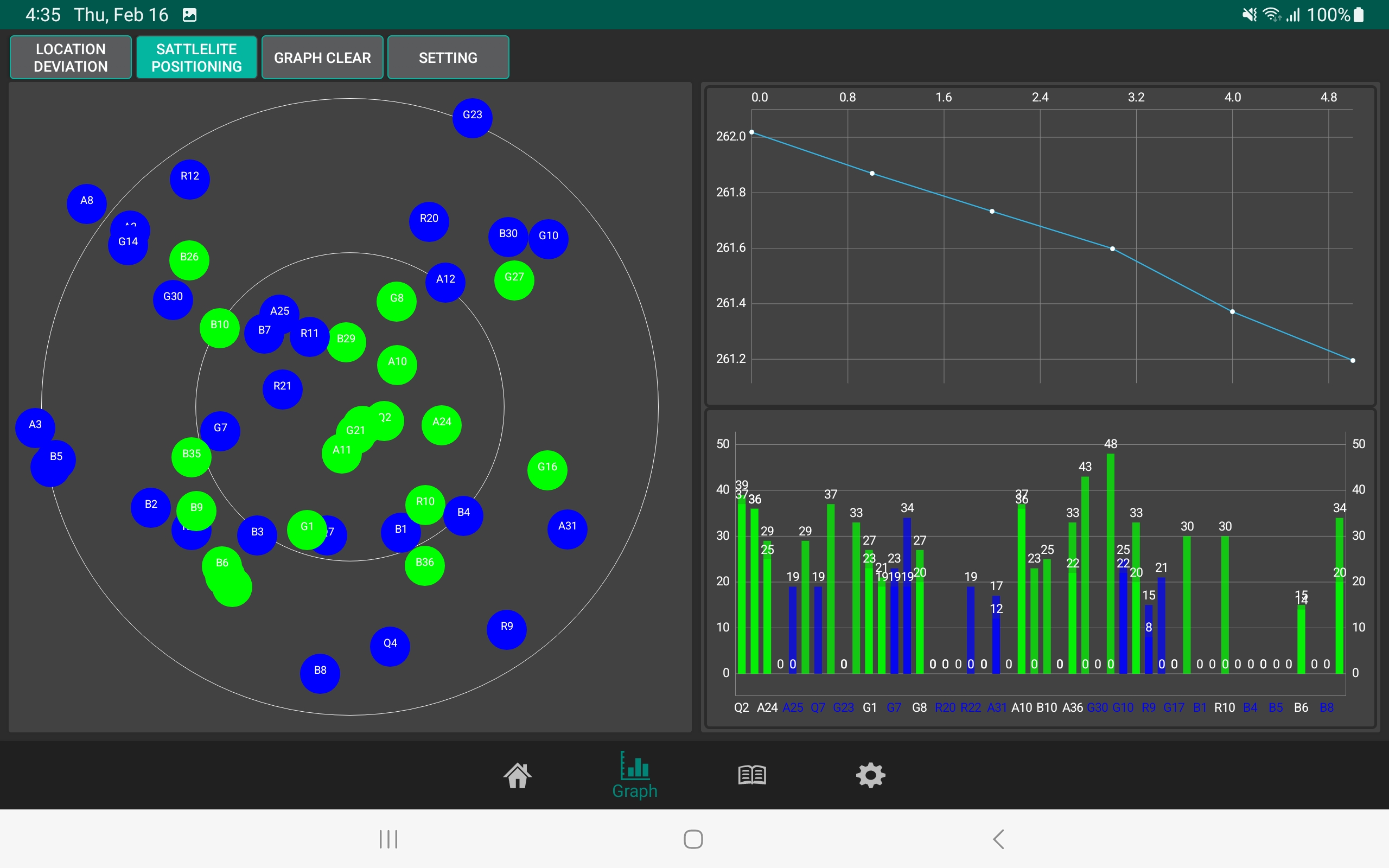
GNSS QC system for monitoring the reception status of continuously operating reference stations (CORS) and detecting anomalies
High-precision positioning solution compatible with Android, Linux, Windows, and other operating systems
Supports precise positioning across a wide range of GNSS receiver protocols
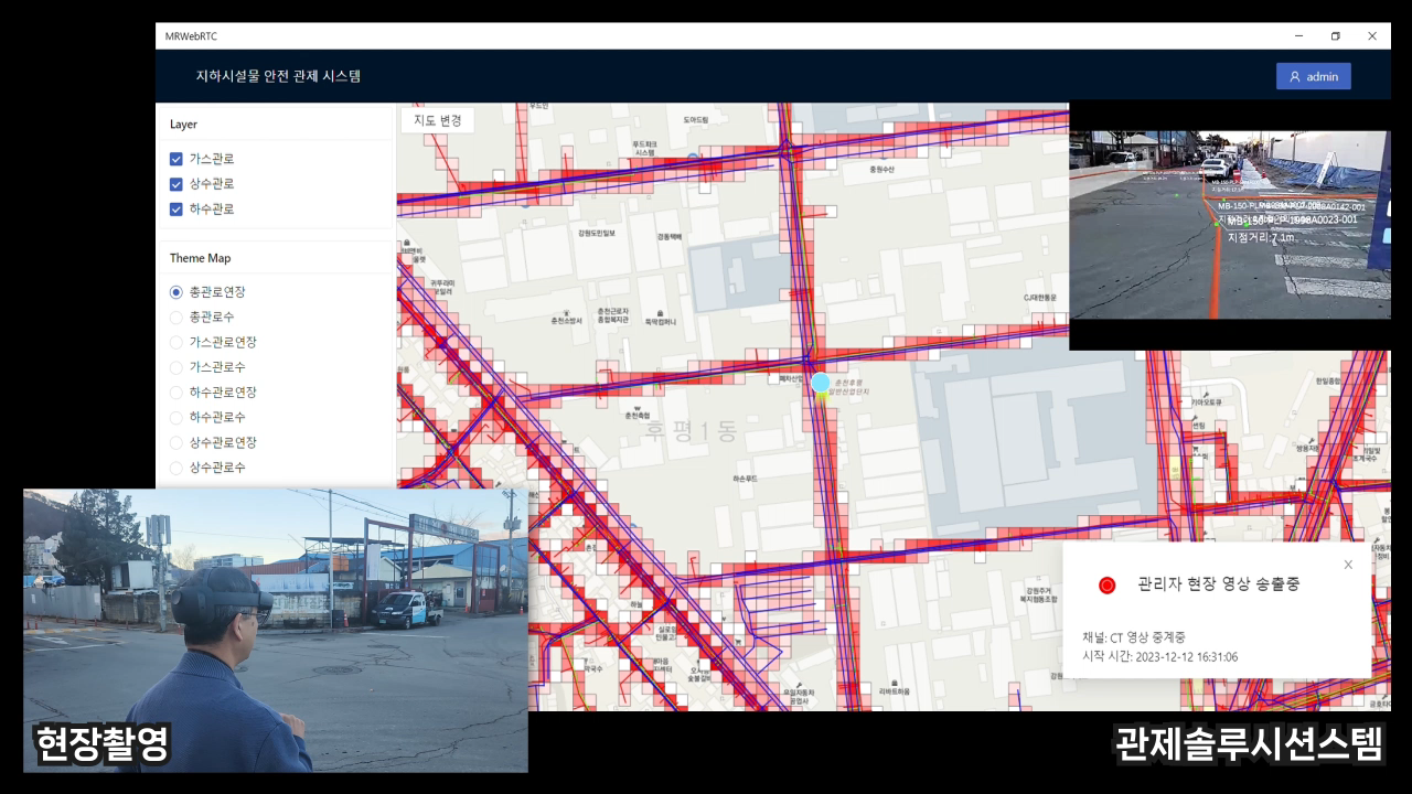
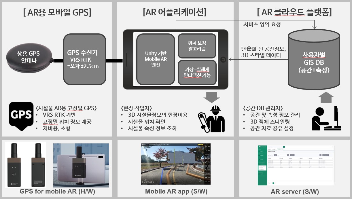
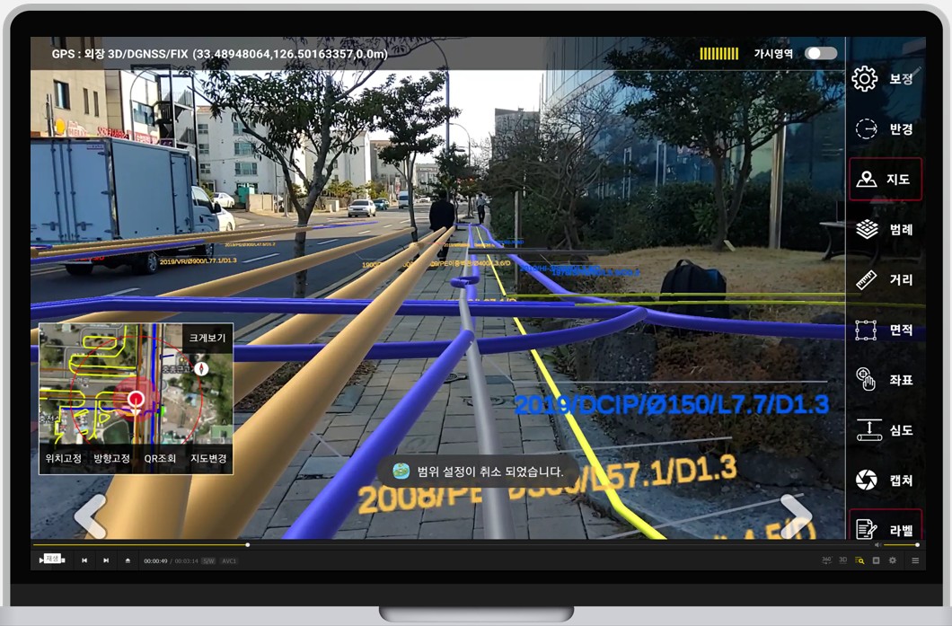
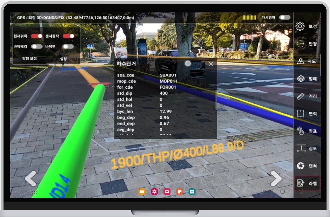
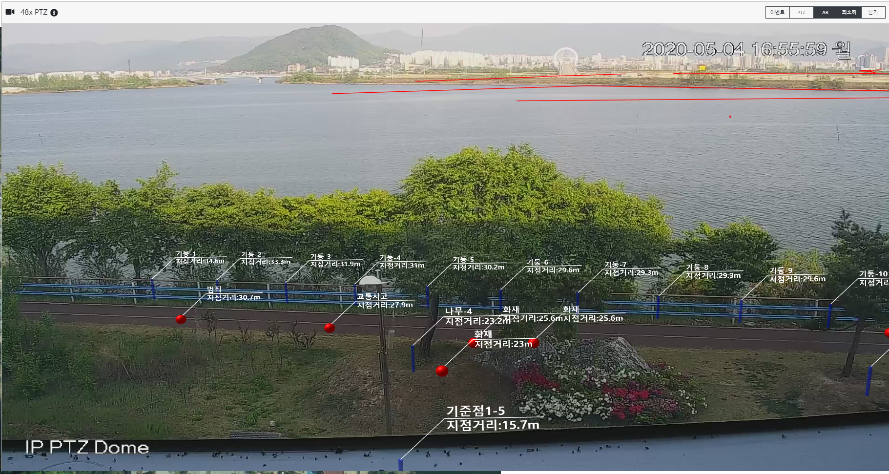
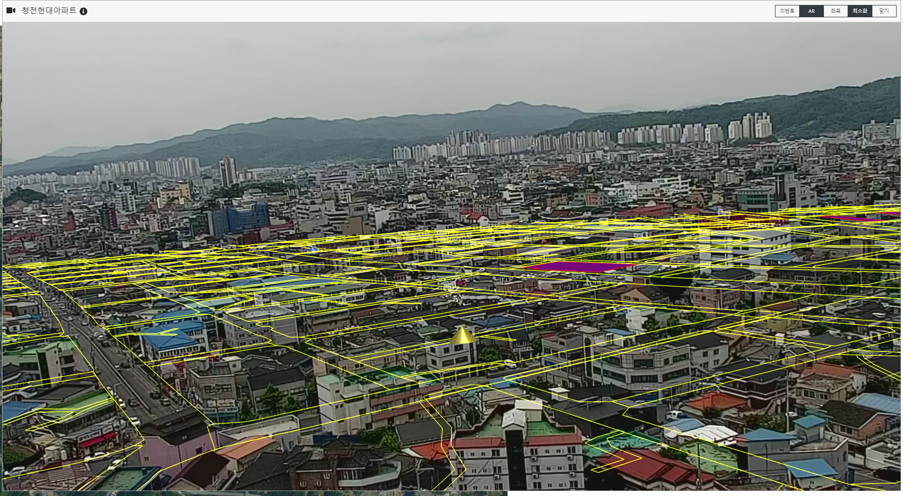
A solution that visualizes the location and information of underground infrastructure, including water and sewer pipelines, gas pipelines, and power lines, using augmented reality (AR) technology, enabling intuitive and rapid understanding of spatial infrastructure information. Depending on application requirements, the solution supports both Android-based devices and CCTV-AR by integrating AR technology with CCTV video.
User-centric visualization of underground infrastructure, including location, depth, and structural information
Infrastructure information provided by fusing GIS, 3D models, and IoT sensor data
Automatic conversion of 2D underground infrastructure drawings into 3D models
AR mobile application for field surveys and facility management
Highly accurate image registration achieved through high-precision GPS
Automatic conversion of existing 2D drawings into 3D models
Immediate service updates reflecting changes to 2D drawing data
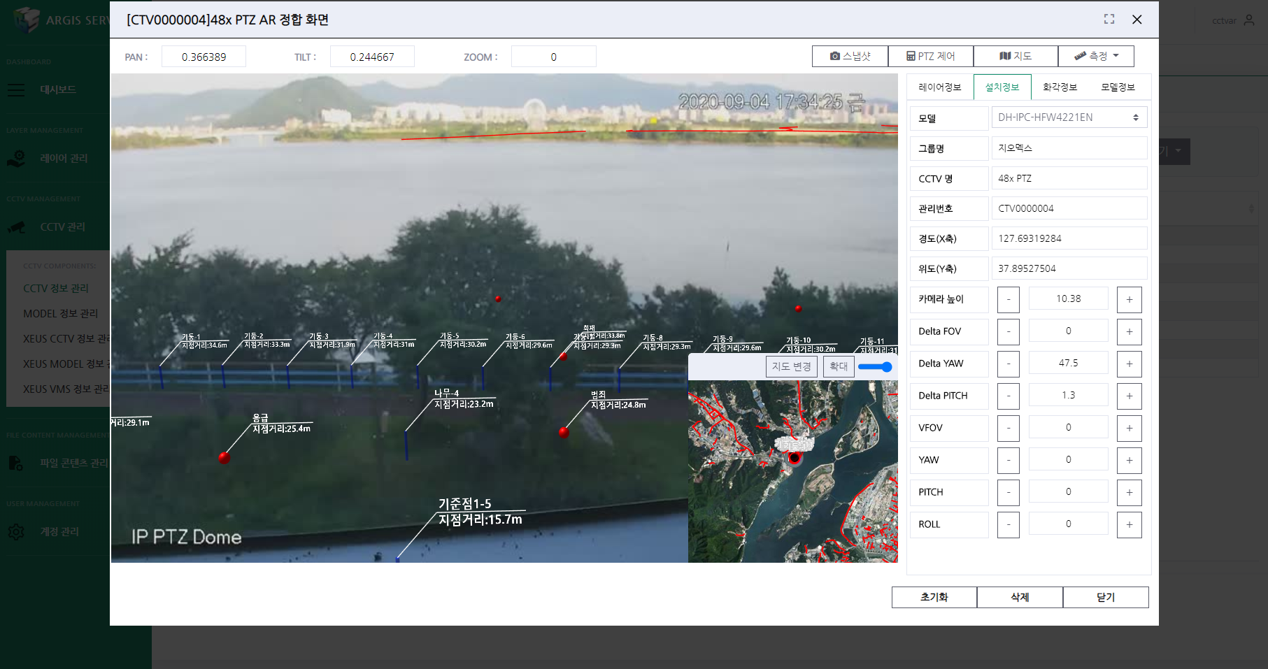
CCTV-AR displaying diverse data overlays on CCTV video, linking AR technology with CCTV footage
Enhancing field response and training capabilities through CCTV- and AI-powered location propagation
and generative AI simulators.
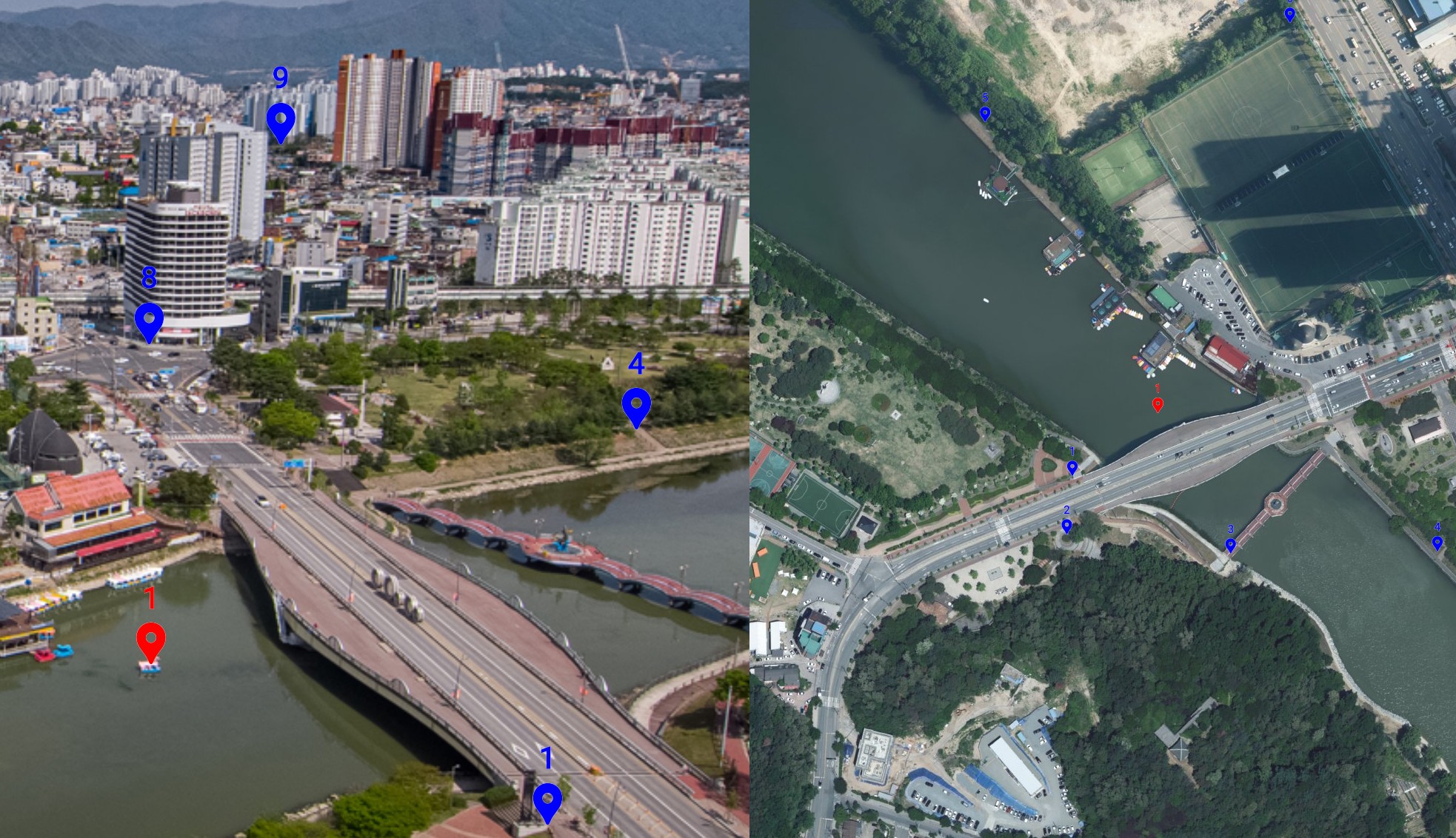
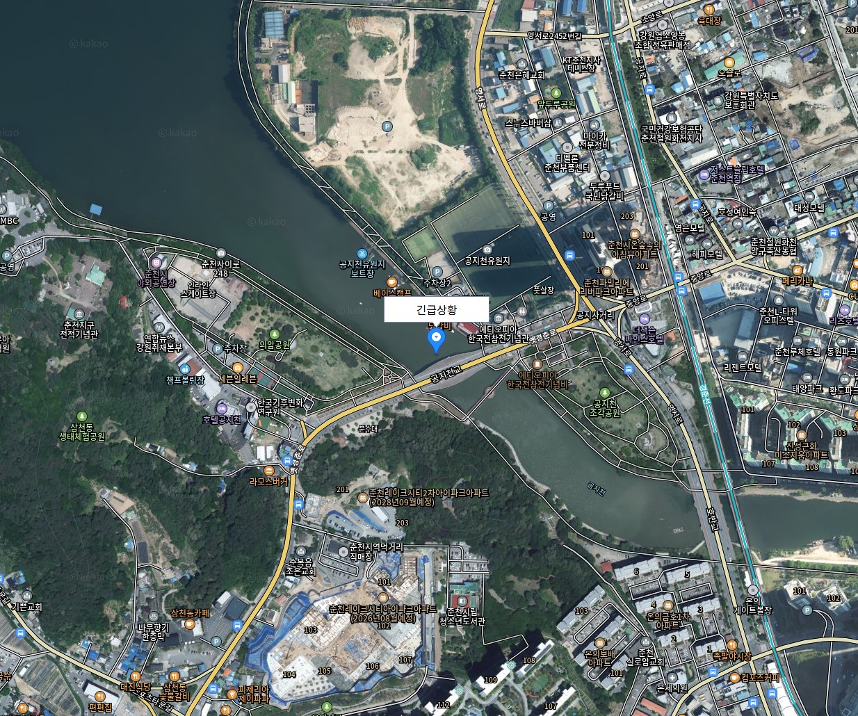
A solution that leverages CCTV, GIS, and AI to convert selected points in CCTV video into geographic coordinates, enabling the rapid sharing of accurate location data and event information.
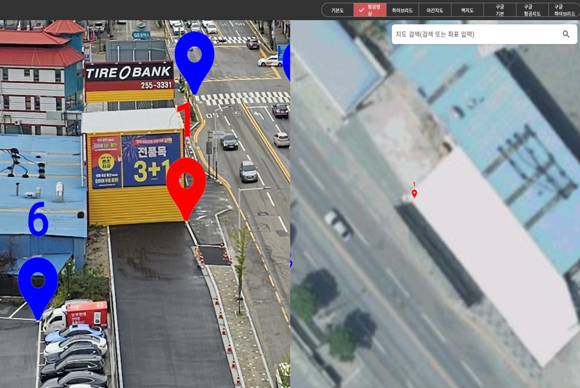
Provides latitude and longitude coordinates by selecting a point in CCTV video
Improves coordinate extraction accuracy through AI-based object segmentation in CCTV video
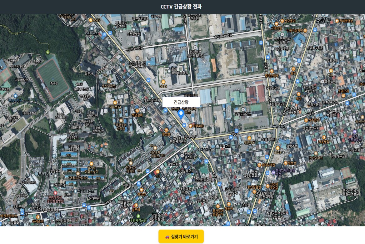
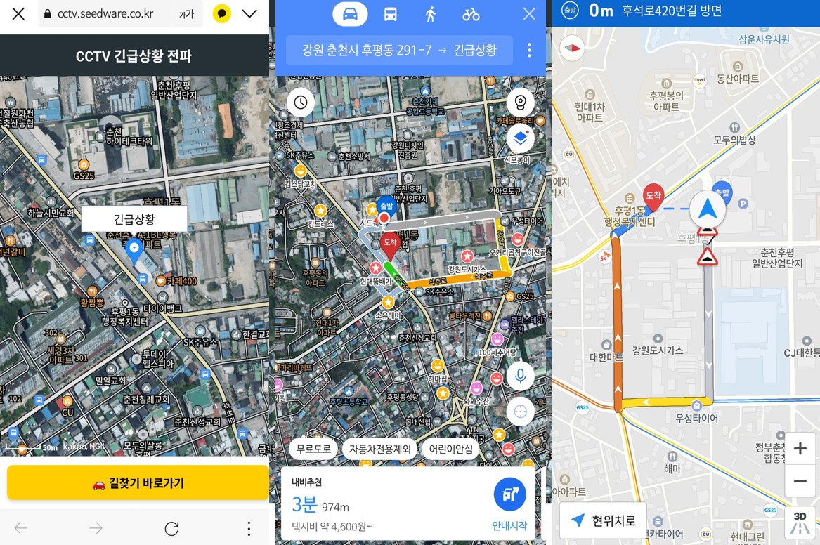
Generates navigation-compatible URLs containing event information and location coordinates when an incident occurs
Easily shares generated URLs via SMS, KakaoTalk, and other messaging platforms
Enables rapid incident response by transmitting accurate location information from CCTV video
Provides APIs for integration with existing integrated control center solutions used by fire departments, police, and other agencies
Provides coordinate data for drone and robotic navigation
Delivers specialized monitoring and control services for areas where conventional address-based identification is difficult
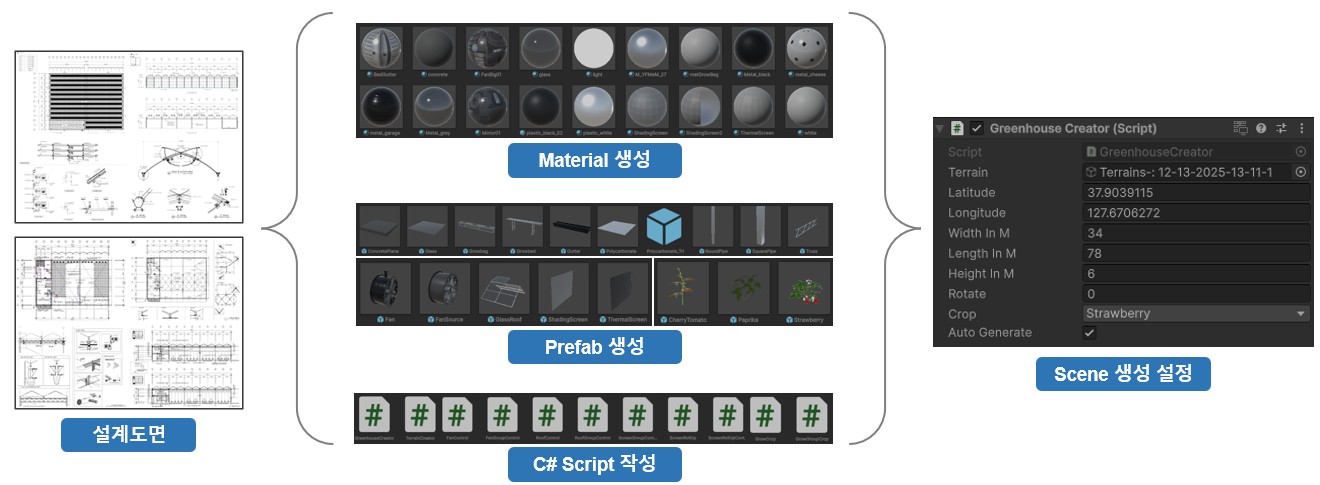
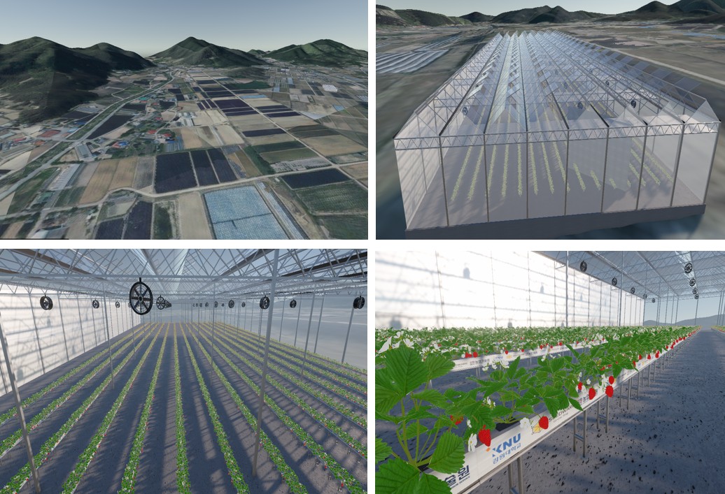
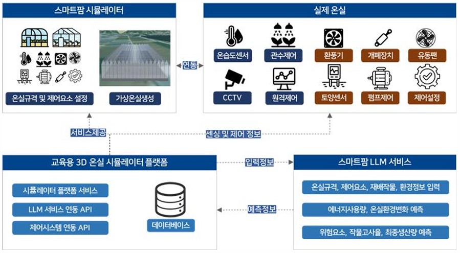
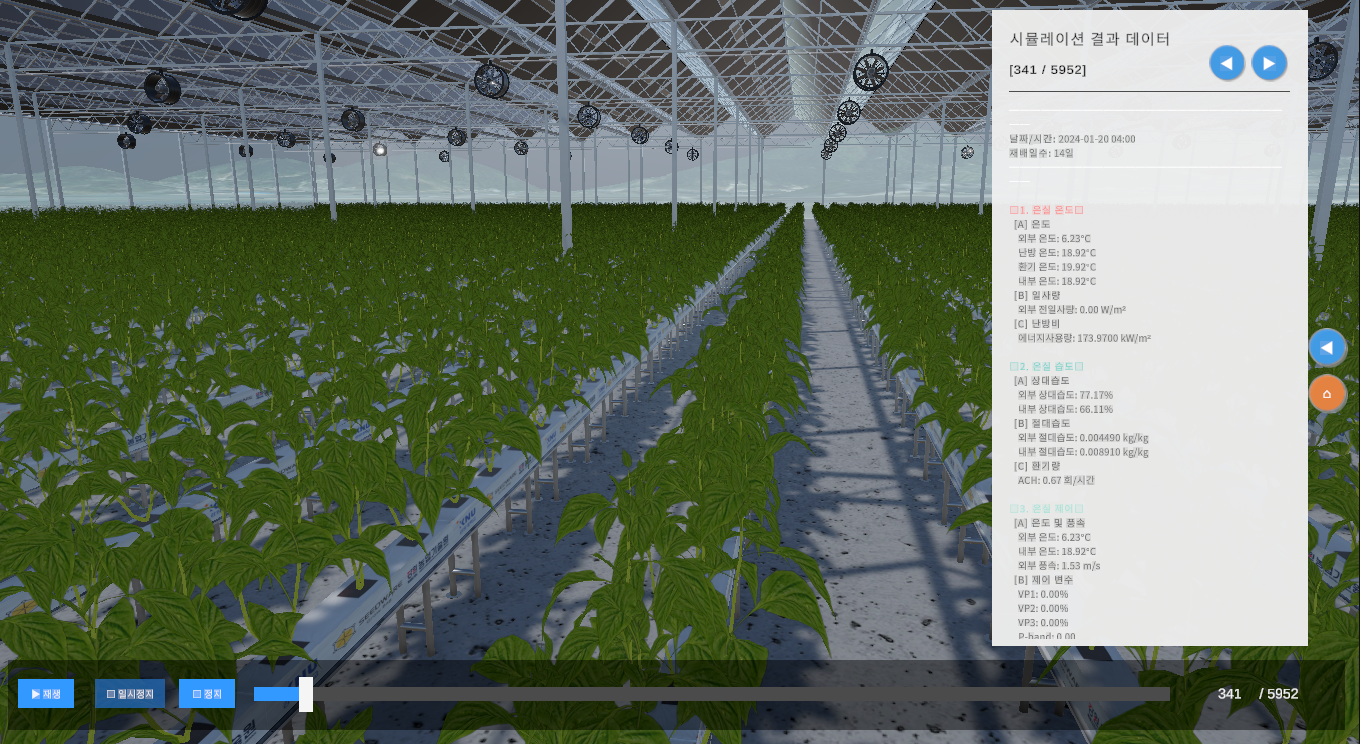
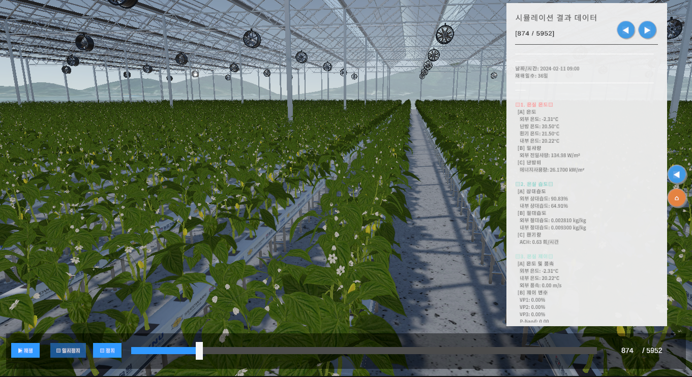
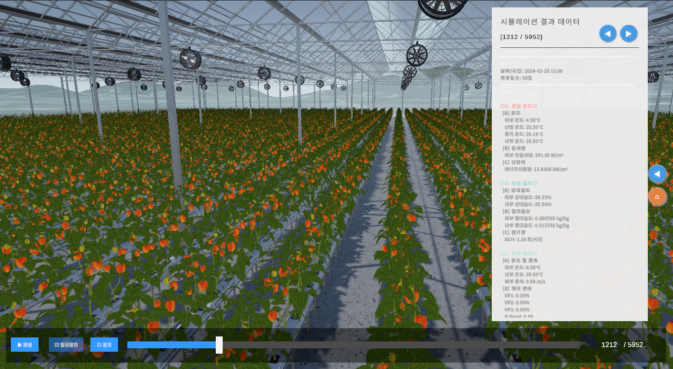
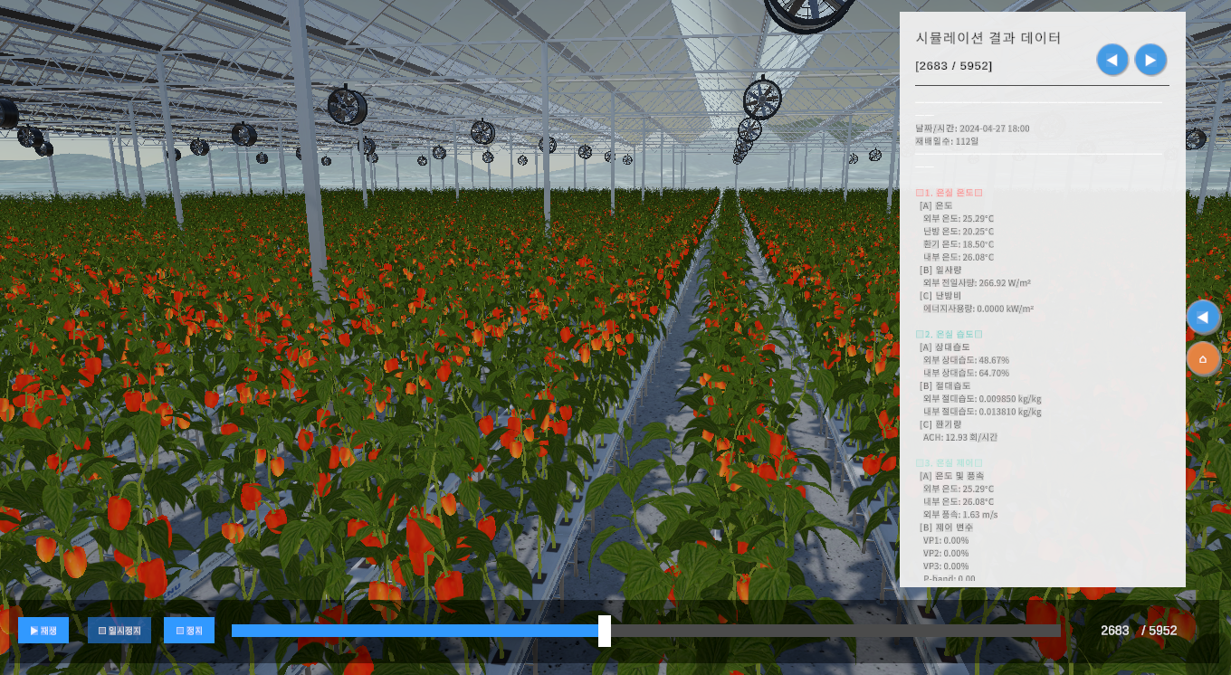
A data-driven agricultural training platform that enables new farmers, returning farmers, agricultural education institutions, and agricultural technology centers to experience greenhouse operation and crop cultivation through simulation before operating an actual greenhouse.
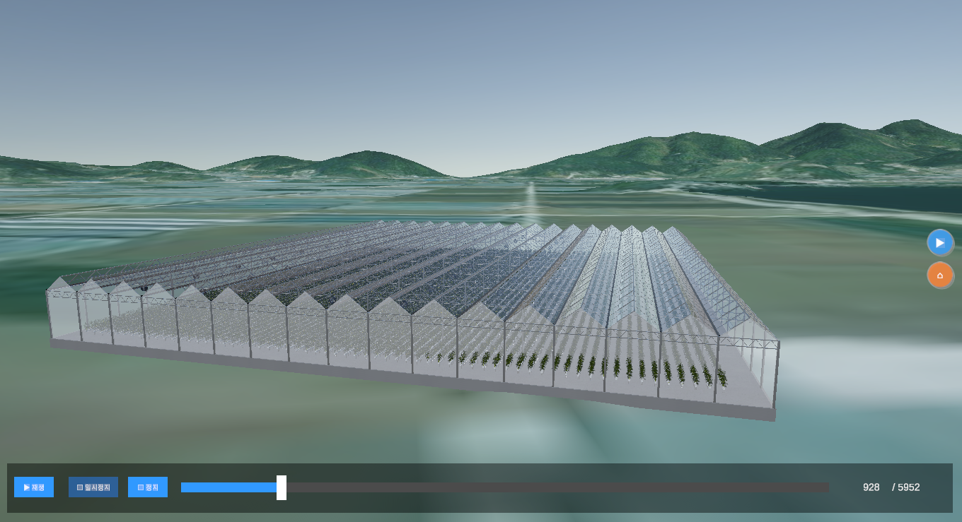
Creates greenhouses on real terrain using 3D maps
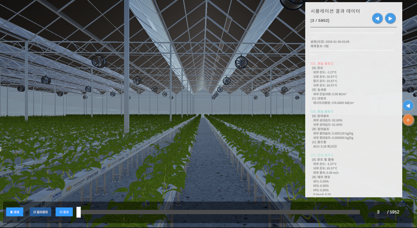
Web-based graphs and 3D time-series visualization
Generates optimal crop cultivation consulting reports using generative AI
Farm simulation through linkage with IoT sensors and integrated environmental control systems
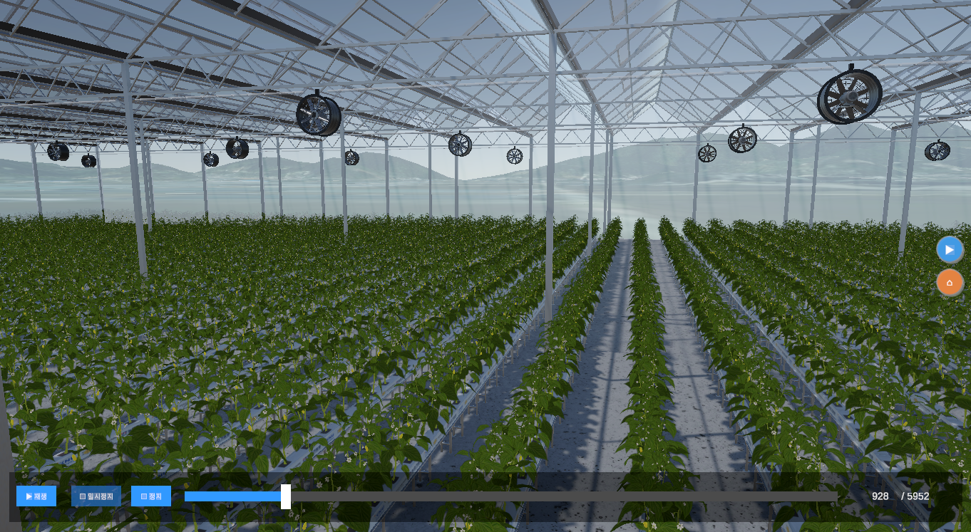
Time-series simulation of greenhouse environments and crop growth
Simulates greenhouse operation using real terrain and actual climate conditions based on 3D maps
Reproduces real greenhouse operations in a virtual environment through linkage with IoT sensors and integrated environmental control systems
Identifies optimal greenhouse operation strategies through various simulation scenarios
Supports farm management decision-making through web-based IoT data visualization and time-series simulation results